Precision Drone Spraying
Targeted, uniform application with automated controls.
- Optimized swath & droplet size
- Geo-fenced, logged flights
- Obstacle avoidance
- Compliance-ready reports
Uniform coverage, survey-grade data, and insights that move the needle — from soil to skyline.
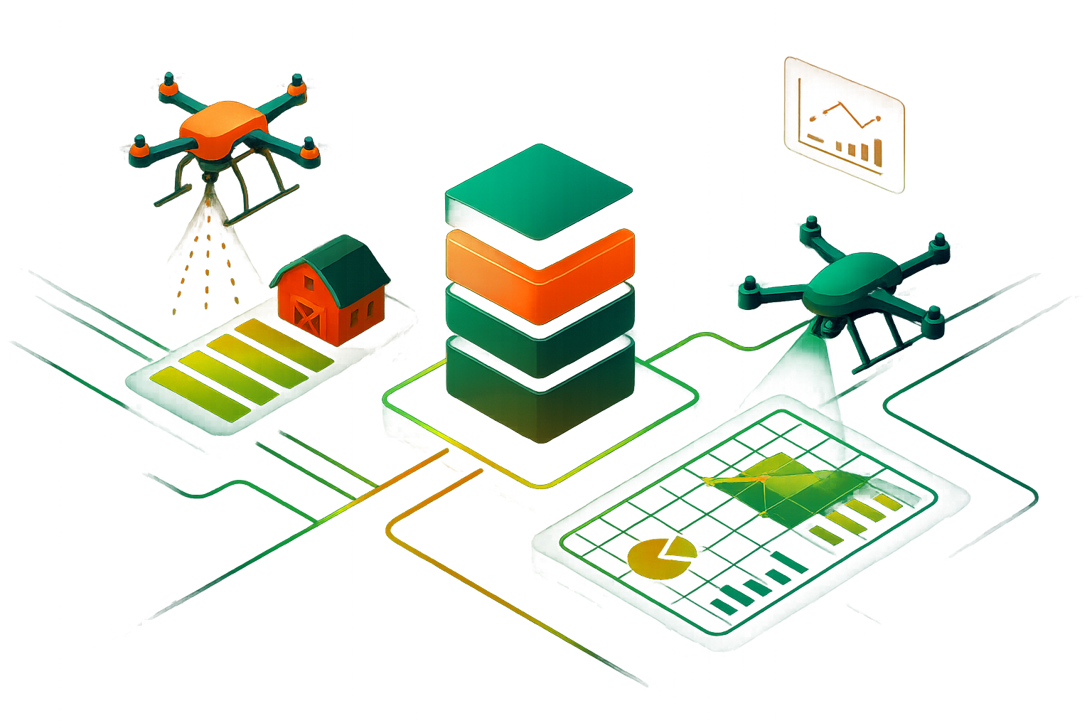
We deliver operational excellence with the most advanced drone platforms, sensors, and workflows in the industry.
Precision Drone Spraying
Targeted, uniform application with automated controls.
Survey-Grade Mapping
High-precision maps for agri, infra, and land use.
Ultra High-Res Imagery
Detailed visuals for crops and infrastructure.
3D Models & Digital Twins
Accurate 3D models for terrain and assets.
From brief to results in days, not weeks.
Tell us about your site and goals. We’ll confirm feasibility, timelines, and a transparent quote.